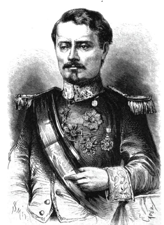
Jesús Aguilar Paz
cartographerMale0.0Global Dominance: 0.00%
Jesús Aguilar Paz was a prominent Honduran cartographer and geographer, known for his contributions to the mapping and understanding of Honduras' territory. His work, particularly the General Map of Honduras published in 1954 and the subsequent editions, played a crucial role in establishing the geographic and historical context of the country’s territorial claims, including the Cayos Zapotillos.
Power0
Reach0
Collect
Not in the pool (under ¢1).
Recent news mentions
Jesús Aguilar Paz included the insular possessions in the General Map edition of 1954.
En archivos los Cayos Zapotillos figuran como hondureñosLa Prensa – high-circulation Honduran daily· Honduras· 2025-08-05