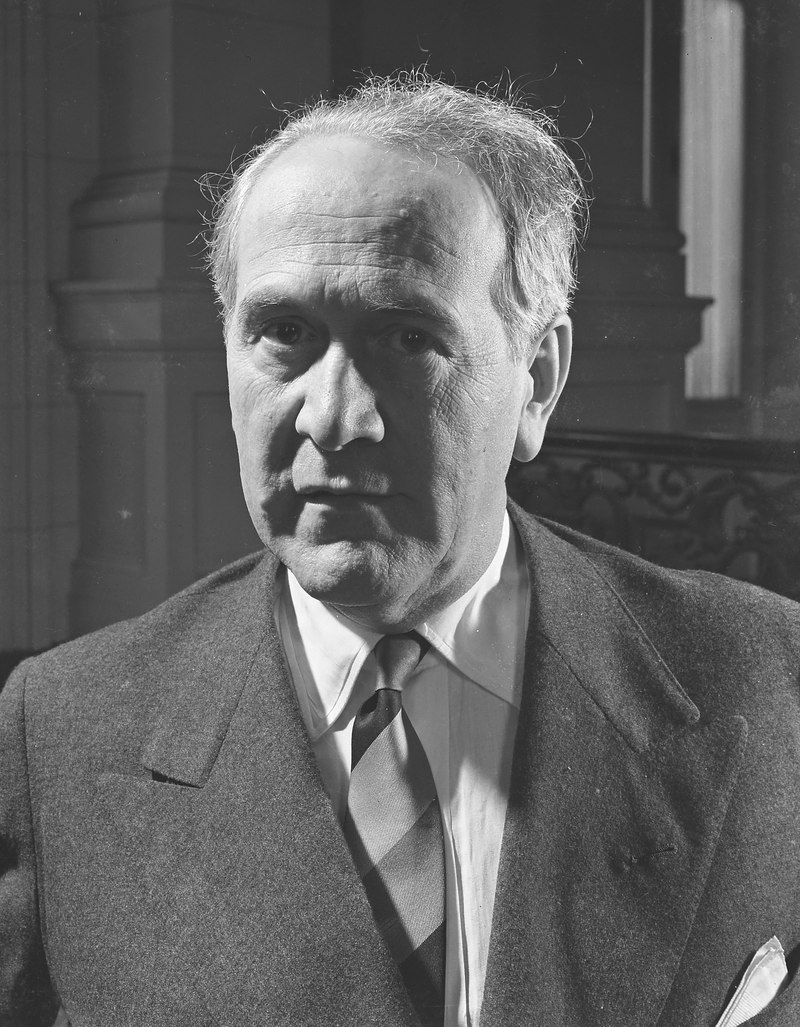
William N. Aranha
historianMale0.0Global Dominance: 0.00%
William N. Aranha was a pioneering cartographer who created the official map of The Bahamas in 1926, meticulously detailing every settlement and waterway in the archipelago, a foundational document that has since guided navigation and development in the region.
Power0
Reach0
Collect
Not in the pool (under ¢1).
Recent news mentions
William N. Aranha drew the official map of The Bahamas in 1926.
DIANE PHILLIPS: Aviation Icon - At nearly 90, Paul Aranha remains a living national treasureThe Tribune – major Bahamian daily, est. 1903· Bahamas· 2026-07-17
Bahamas· 2026-07-17