Karlheinz Wagner
cartographerMale0.0Global Dominance: 0.00%
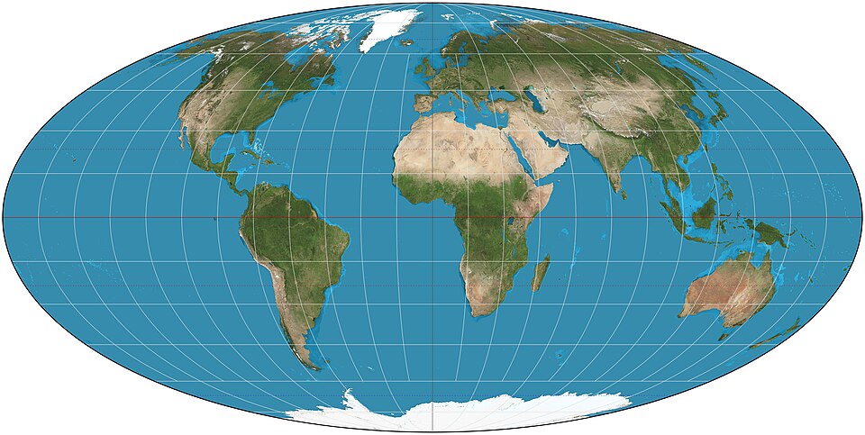
Karlheinz Wagner was a notable German cartographer recognized for his work on map projections that prioritize area fidelity. His contributions to the field aimed to enhance the accuracy of geographical representations, providing alternatives to the widely used Mercator projection and helping to promote a more realistic understanding of global geography.
Power0
Reach0
Collect
Not in the pool (under ¢1).
Recent news mentions
Karlheinz Wagner created a map projection in 1949.
Wie manche Weltkarten die wahre Größe von Regionen verzerrenLuxemburger Wort· Luxembourg· 2025-10-27