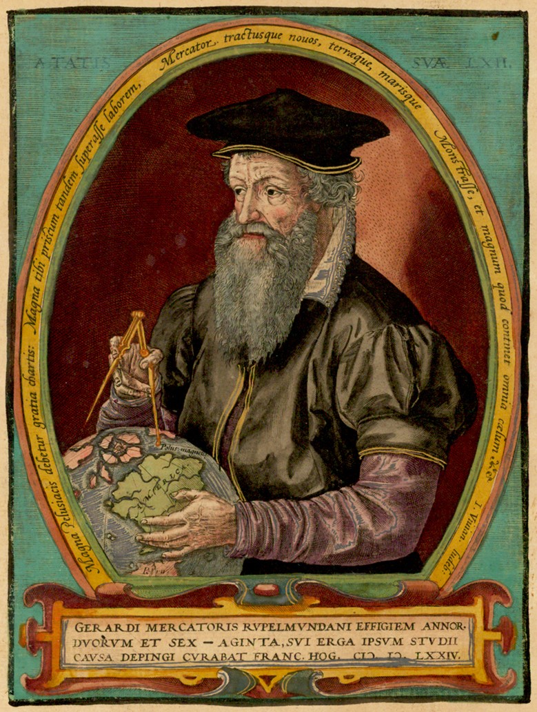
Gerardus Mercator
Gerardus Mercator was a 16th-century Flemish cartographer, geographer, and mathematician best known for creating the Mercator projection, a cylindrical map projection that became the standard for navigational charts. His innovative approach allowed navigators to plot straight lines on maps, significantly aiding maritime exploration. However, this projection distorts the size of landmasses, particularly near the poles, leading to misconceptions about the relative sizes of continents, which has sparked contemporary debates about its use in modern mapping.
Not in the pool (under ¢1).
Recent news mentions
Gerardus Mercator created a revolutionary atlas in 1569 that has had a lasting impact on cartography.
Index - Tudomány - Nem csak Donald Trumpot, mindenkit jól átvertek Grönlanddal
Gerardus Mercator developed the Mercator projection in 1569 for navigation.
Wie manche Weltkarten die wahre Größe von Regionen verzerren
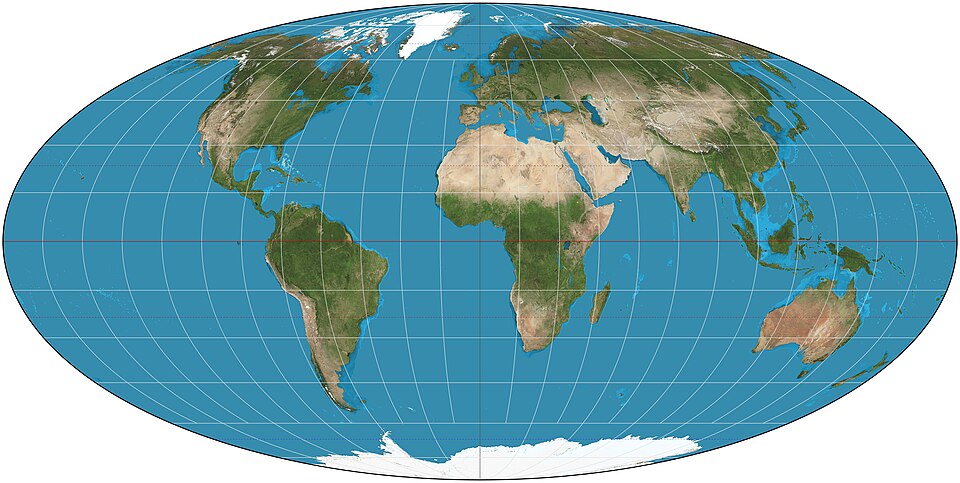


Gerardus Mercator created the Mercator projection in 1569.
Kako so zemljevidi popačili predstave o svetu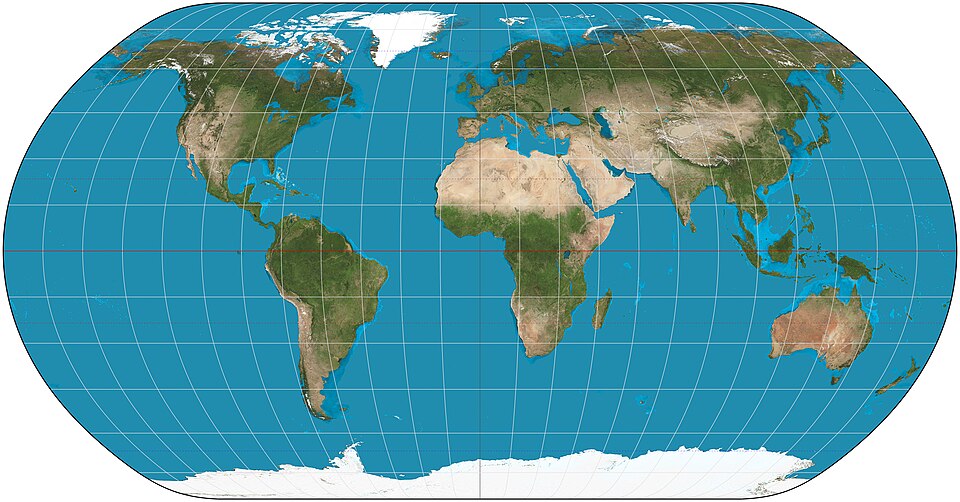


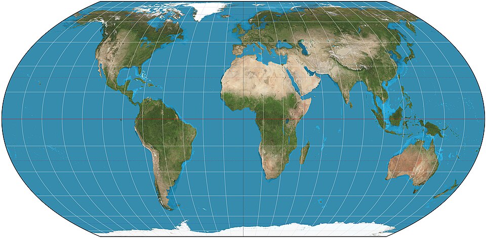
Gerardus Mercator invented the Mercator projection in the 16th century.
Qué es la proyección de Mercator y por qué los países de África quieren que se deje de usar para elaborar los mapamundis